


I'm flat on the road leading to Honister Pass screaming in pain. If there was anyone (really) close to hear by then they'd think I'd broken my leg but it's my right hamstring which has a habit of spontaneously going into cramp. This episode has been brought on by the wind blowing me off the bike. I walk the rest of the way to the summit.
I grew up in the Lakes and have done lots of stuff there: fell walking and running; climbing; biking, so the Lakeland 200 would be a good way of visiting old haunts. I've wanted to do it for several years but somehow each year things didn't happen. A prolonged dry spell and with a forecast for it to continue I made the rather late decision on Easter Monday to set off on Friday morning as early as possible. The forecast was also for being a bit cooler than recently which always helps. Being a loop you can start anywhere you want, the supplied GPX starts/finishes in Staveley but that's as much because most people would be coming from the south and that's the nearest point. I settled on starting from Coniston which meant that the second biggest climb was done right at the start and the crux section of Black Sail Pass and Scarth Gap came while I was still relatively fresh.
I'm pushing quite a bit of Walna Scar, my legs haven't warmed up yet.
There's the turn off to Goat's Water and Dow Crag, an old climbing haunt. The last time I'd been up there was to scatter a friend's ashes who'd died from an overdose.
The wind had nearly got me earlier just dropping off the top of Walna Scar when it nearly pushed me off the track so I had to walk a hundred metres or so (downhill on an easy track) until it was safe to ride again.
 |
| Sunrise over the Lickle Valley |
There's some really nice riding by the lovely named River Lickle and skirting to the south of Stephenson Ground that I'd not done before then it's the rocky descent to The Newfield.
Ah, The Newfield, we spent many a Sunday in here post climbing or other activity. One time: Simon, a Cornishman known as "Arr", and Pete (universally known as Nitto for some reason) decided that they'd jump into the Duddon from Birks Bridge as you do, in January. After said activity we retired to The Newfield and played one of their old university drinking games where you took it in turns to say "Arr" and if Nitto didn't like how you said it he drank your beer! Only ever seemed like one winner there. A couple of years ago whilst riding the Jenn Ride I mentioned to the landlord that I remembered him from when we visited in the 1980s. He stared at me: "That. Was. My. Dad!", Oops! "You're banned" With a twinkle in his eye.
I twiddle up the lane to Birks Bridge and I hear a bike approaching behind. He's the first person I've seen since I set off. We stop to chat, he's off on a quick loop over Wrynose Pass, turns out he's from a village not far from where I live.
Harter Fell is a long steady climb, a bit of a rocky plateau then a good descent. Halfway along the top there's a worrying "Pffft" as the rear tyre burps and partially deflates. Oh, well, get the pump out. Hmm, is that a cuckoo? As I begin to try to inflate the tyre the bird starts up again. The pump isn't working so plan B is to use the CO2 canister which works first time. All right cuckoo we've heard you. Drop the seat for the descent which is great fun.
 |
| The start of the descent off Harter Fell |
A new bit of bridleway to me leads down the valley but there's a worrying noise from the bike. On inspection the lower jockey wheel is stuck, it rotates forward OK (ish) but won't move when spinning the pedals backwards.. Curious. A little later it's cleared itself, must have been some dirt jammed in there. Another odd loop to take in a bridleway rather than road and I arrive in Boot. It's shut.
 |
| The old water mill at Boot |
Across the valley from Boot is Gate Crag. Four of us had headed up there prospecting for unclimbed routes. Al Phizacklea found one and about 10m up posed around hanging from a large hold. A short while later keen to get the second ascent I set off up it. Grabbed the hold which promptly broke off and deposited me on the (fortunately sloping) ground with luckily only bruises to show.
The old corpse road over to Wasdale doesn't go quite to plan as I mistakenly take the path to Miterdale instead! A bit of cross country through tussocks gets me back on track.
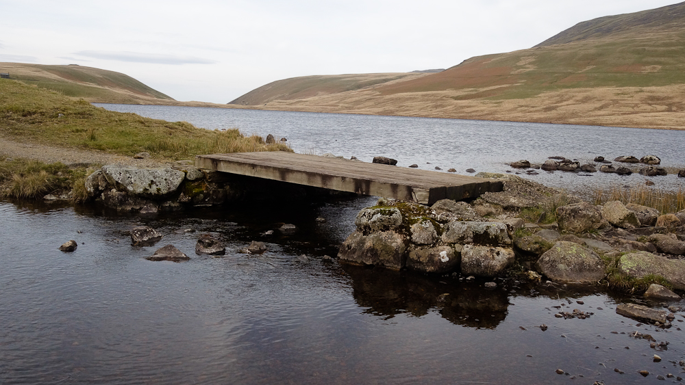
Down to Burnmoor Tarn which is very unusual in that the main feeder beck and the outflow are very close together, maybe 200 metres apart which must make for some strange hydrographics.

Wasdale is the first time the route crosses paths with the Bob Graham Round (BGR), no matter which way you do it there's a big climb out of the valley. I was definitely "feeling it" by the time I got here way back in 2005.

The Wasdale Head Inn. I had my stag do there, ended up with a Karaoke session, don't think they did much trade after that.
I didn't feel much like stopping again so soon after Boot so pressed on up Black Sail Pass, the crux of the whole route.
I'd been having problems with my rucksack - no matter how I packed it it always seemed to niggle and dig in my back. Finally as we headed up Black Sail Pass to get to Pillar Rock I decided to sort it out once and for all. I emptied the sack and got my mate to push on it - the niggle was still there. The sack had a sleeve for a foam mat to sit next to your back, out with that and the culprit was found! A peg (piton) had fallen in there. A comfy sack once more.
Black Sail Pass is our next meeting with the Bob Graham as it drops off Pillar and head onwards up the screes of Kirkfell. It takes almost the quickest route between here and Honister Pass. The LL200 will take a more circuitous line.
We usually approached Pillar Rock from Wasdale Head via Black Sail Pass and Robinson's Cairn but for our visit in 1984 we approached via Ennerdale. This was before the days of mountain bikes so would normally have been a long walk from the car park at Gillerthwaite but sat in the car was a rather large and sharp blade for a bench saw. Tony King had been sharpening it for a woodsman who lived next to the Youth Hostel. We were due to meet Dave Kirby and Penny Melville at the gate.
We were about to set off when the woodsman looked at our sacks and asked where we were heading. "Oh, hop in, I can give you a lift to the bottom of the path". Dave and Penny pulled up as we were walking down to his car on the other side of a rise in the track. Soon we were at the foot of the climb up to the rock, our lift headed back by a different track. It was a lovely warm day and the steep but now thankfully short walk-in was soon dispatched. Sitting by the beck in the sun someone noted, "Isn't that Dave?" Sure enough heading up the path were Dave and Penny.
"You lot don't half shift!" he panted as he got within earshot. We looked at each other guiltily wondering if we should let him know.
They hadn't seen us get in the car so when they got to the gate a minute or so after we had walked out of sight we were nowhere to be seen. "No problem, we'll see them round the next bend." At every bend the track ahead was bare and they sped up sure that they would catch us up: "It's a long straight after this bend, we'll definitely see them!" They had taken just fifteen minutes longer to walk the whole of the valley than we had in a car!
The route down from the pass is hardly less arduous than the ascent and I'm only able to ride for the bottom third. Scarth Gap though lower is just as rough.
Heading from Gatesgarth towards Honister and I'm in bottom gear on the flat due to the wind.
"What's your name?", "Paul", "Where are you?" "I don't know." That was worrying. We were doing the Borrowdale Bash and Paul had decided to fall off at the only point where the track leading off from the Honister Pass road wasn't protected by high bracken and had fallen into a rocky gully. We get him down to Seathwaite and the ambulance takes him to Carlisle for a scan, fortunately nothing serious.

The last bit of the Bash leads me into Keswick, it's taken 10 1/2 hours to get here.
The first bike shop doesn't have any jockey wheels, aagh! Fortunately the next one does, £11 please sir. Back to the Spar to get refreshments and more provisions and I make the jockey wheel change in their car park, the original was actually seized, I'd probably effectively had a brake on for most of the ride so far!
The route follows the BGR again out of Keswick as far as the car park on Latrigg then heads round to the Glenderamackin valley. Cath had warned me not to attempt to ride the rocky section here but there was no chance - the wind meant I could only just stand let alone ride a bike. The next bit was good riding and once on the other side of the valley and out of the wind it was much easier going.
 |
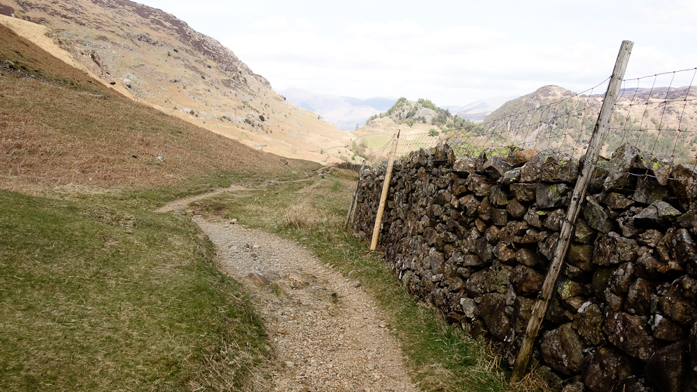
| The bit you really don't want to fall off! |
Crossing the A66 I decide to get out the wind and ring Cath. I'm tucked under a wood at the start of The Coach Road before I find anywhere just "quiet".
The first dip in The Coach Road is the last time the LL200 and BGR cross paths, the BGR sticks mostly to the west of the Lakes, Fairfield being as far east as it ventures. The LL200 on the other hand manages to visit nearly all the main valleys of the Lakes, just a few to the far east that are missed out.

Heading to Pooley Bridge after The Coal Road I make a mistake in not putting the windshirt back on and I chill on the descents. I'm pretty cold by the time I get to Pooley Bridge, even a coffee in the shop and the next climb don't really warm me up.


It's starting to get dark now. Rather than follow the ridge from here to High Street the route drops back to the valley before climbing back up again before another descent and yet another climb back up. The first descent is a blast I just get to the bottom before I need to actually put on my lights.
I'm still cold and decide that I'll find a barn or something similar to get out of the wind and bivy for the night, I might even ask a farmer if I could use a building. The first one I decide to check out I turn my lights to the door and am met with barking. No good there then. The next faces into the wind. The third has been used as a lambing shed but is unoccupied but is empty. The floor is, shall we say, slightly soiled but it's not too bad. In we go.
It takes me about an hour to warm up.
I awake and check the time 0230 and I need a pee. I'll get up now and get going. I'm away by 0300 and the route begins with the first big climb up Breda Fell. Once on top the wind makes the singletrack awkward. Seat down and the next descent to Hartsop is a blast in the dark. It's still only 4am!
I stop before the next climb from Hartsop for breakfast.
Off in the gloom to the right lies Raven Crag, Threshwaite Cove. A friend who began climbing in the 1960s said it was known about back then but left as it was definitely a crag for future generations. It wasn't until the mid 1980s when the first route was done at a standard at the top of what the climbers of the 1960s were capable of, the rest are quite a bit harder still.
The next climb up to The Knott is the biggest on the route. I remember this from a school fell-walking trip, it was a pain then, it's still a pain (with a bike) fifty years later. Once on top there's a bit more pushing until you get to the Roman road running across the top of High Street. Even two thousand years later it's still rideable. The wind is back and making things very cold, I've little feeling in my hands. Then you leave it for one of the few Lakeland tops that I've ridden a bike to the summit, Thornthwaite Beacon, notable for its remarkable cairn some 4 metres high.

What goes up must come down and I pick my line through the mist until I spot the main part of the descent heading off right. There's another "pfft" and my rear tyre burps again and is flat. It's so windy I need to walk downhill for several hundred metres to find some form of shelter. Even then my cold hands can't unscrew the valve so I have to resort to pliers to do so. I use the last of the CO2 to mostly inflate the tyre. The rest of the descent will need care, really not sure what Garburn Pass will be like with a tyre in this state. There are sections that are unrideable, not least because of the steep hillside to the right and the fact that I'm wearing a very slippery windshirt and I'd be unlikely to stop very soon.
Some of the few easy tracks lead to the foot of Garburn, a push up this (into the wind) and a wary descent just trying to stay upright and things have warmed up enough to take off the windshirt. The Three Rivers descent leads down to Staveley. A detour to the bike shop to get more CO2 and provisions then back to the route.

Heading westwards with the destination now in sight there's a couple of riders heading towards me. I recognise one as Alan Goldsmith the proginator of the Lakeland Loop. We have a chat, he's somewhat stunned that I'm attempting it in the current wind conditions. "Just the easy bit to do now." he notes, unfortunately he doesn't know the state of my legs.

An ice cream in Troutbeck then over to Ambleside via the last technical descent of Jenkin's Crag. I'm in no mood to tarry in the town, way too full of tourists. The next climb is a walk, no way can my legs manage a 20% gradient.
 |
| Let's ride, err... |
Without realising it I'm slowing down dramatically, just about any upward rise means I'm walking. Even when I get to a section I know I can ride in my condition I'm presented with wind blown trees blocking the way. Finally I'm at the top of the last climb, just the descent of Lawson Park down to the road leading round the head of the lake back to Coniston. Except the top 200m or so is again blocked by wind blow and takes some time to circumvent. The lower descent is ace.
 |
| The end is nigh! |
That was really hard, harder than something like the Cairngorms Loop. Glad I've done it but not something I'd do again in a hurry (or even slowly).